Utah Ice Fishing Report: Current Ice Conditions by Reservoir
A season-aware Utah ice report for August 11, 2026: current open-water status, what is not known about future ice, and a safety-first checklist for the next freeze.
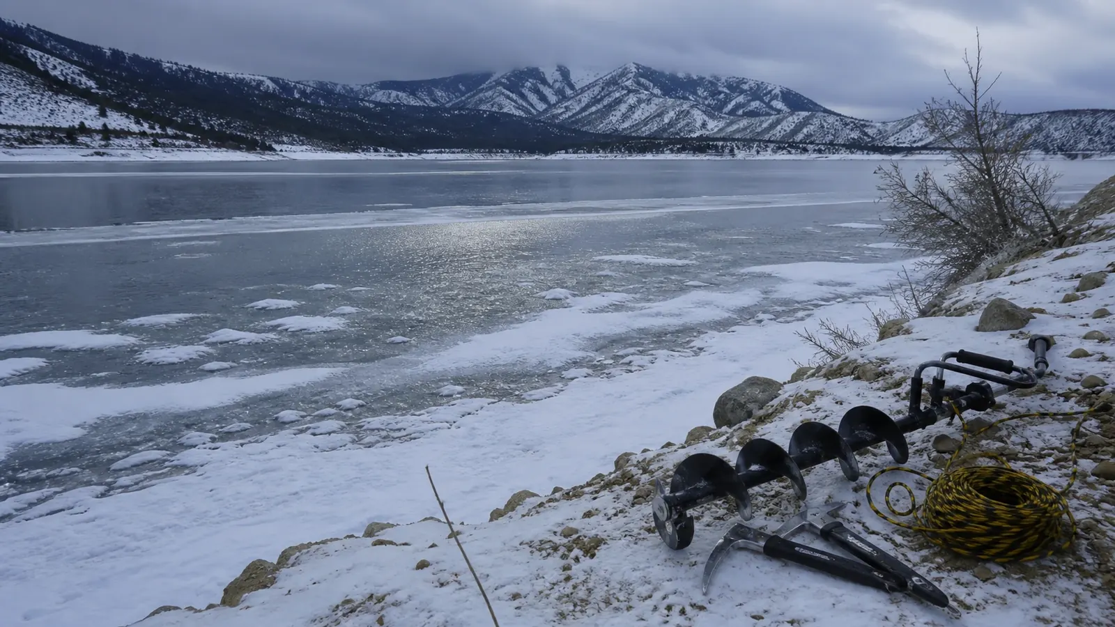
This is a current-status ice report for August 11, 2026, when Utah reservoirs are in open-water season. It is not a forecast of when a particular lake will freeze, and it does not certify any ice as safe. The right answer today is to prepare a verification routine rather than infer winter conditions from a summer photograph, a past thickness number, or a familiar destination.
Current conditions by reservoir
| Reservoir or lake | Latest official status checked | What is safe to conclude | | --- | --- | --- | | Jordanelle | July 21 State Parks update: no ice, 70 F water | Open water in that posted snapshot; no winter thickness conclusion. | | Sand Hollow | July 27 State Parks update: no ice | Open water in that posted snapshot; do not generalize to winter. | | Willard Bay | July 27 State Parks update: open water, 61 F posted temperature | Open water in that posted snapshot. | | Mirror Lake | High-elevation destination; no current August ice report verified | Check the current road and lake notice when winter travel is actually planned. | | Tibble Fork | Mountain reservoir; no current August ice report verified | Do not infer ice or access from the summer stocking record. | | Strawberry and other destinations | Conditions change locally and quickly | Use a current water-specific notice, not a statewide label. |
The Utah State Parks ice-safety page is blunt for good reason: ice is never 100% safe, conditions vary across a lake and can change by the day, and vehicles are not permitted on the ice. The DWR winter ice-fishing guidance recommends testing and carrying safety equipment; it does not turn a thickness measurement into a guarantee.
What to verify before a winter trip
- Check the water-specific State Parks or managing-agency conditions page on the day you leave.
- Check current road status, especially for high-elevation roads such as Mirror Lake Highway and American Fork Canyon.
- At the water, inspect the shoreline and access point before unloading gear.
- Drill test holes continuously as you move; do not assume one hole represents the lake.
- Fish with another adult, carry ice picks where they can be reached, bring a throw rope, and keep a change of dry clothes in the vehicle.
- Keep vehicles off the ice and follow every posted closure, access restriction, and local rule.
DWR discusses four inches as a general precaution in its educational material, but also says thickness varies. Treat that figure as a cautious planning reference, never as permission to step onto a specific lake. Clear ice, white ice, snow cover, springs, inlets, outlets, narrows, and wind can all change risk.
What a useful ice report should contain
A responsible report should name the exact lake, access point, observation time, ice type, recent weather, and whether the writer measured continuously while moving. “People were out there” is not a measurement. “It froze last week” is not a measurement. A photo can show a shoreline without showing the weakest water near an inlet or a current route from the parking area.
When winter arrives, compare more than one observation and give the newest water-specific agency notice the final word. If reports disagree, treat the lake as unverified and choose an open-water alternative. Never ask another angler to make the safety decision for you, and never cross a closure because a familiar access point was open in a previous season.
The safest trip plan also has a turnaround time. Tell someone where you are going, keep your vehicle on land, and leave before weather, daylight, or changing ice makes the return harder. The goal is to come home with a useful observation and your equipment intact, not to prove that a marginal surface can carry a person.
A winter checklist worth saving
Save the exact waterbody page, the park phone number, and the road-status page in your phone before driving out of service. Pack a spud bar or auger, ice picks worn where you can reach them, a throw rope, a flotation aid, warm waterproof layers, food, water, a first-aid kit, and dry clothes. Keep a charged phone in a protected pocket, and tell someone your parking location and return time.
At the shoreline, look for open water, dark seams, pressure cracks, flowing inlets, and recent snow that hides the surface. Do not let a group, a sled track, or an old photo substitute for your own assessment. If anything about the route or surface feels uncertain, turn back. An honest “no ice verified” report is more useful than a confident but unsafe guess.
Use the same discipline when reading social posts: identify the date, exact access, and whether the observation was measured or simply photographed. A post from another reservoir, another arm, or another week is context, not current ice data.
If the agency page is unavailable, delay the trip rather than fill the gap with an assumption.
How to use the current open-water reports
The summer updates still help with planning. Jordanelle's current page has a no-ice observation and a 70 F surface reading. Sand Hollow has a no-ice observation and a 76% water level. Willard Bay has open water and a 61 F posted temperature. None of those details predicts first safe ice, and none should be carried forward into winter without a new source check.
If you are choosing a winter destination, keep the internal Strawberry Reservoir ice-fishing guide as a technique and preparation reference, then replace its old conditions with the current official notice. The Utah fish stocking report can help you choose a target species, but stocking data is not an ice-safety source.
For access planning, UDOT reported that SR-150 Mirror Lake Highway reopened for the 2026 season on May 22. Seasonal roads can close again well before a lake is fully frozen, so check UDOT road information immediately before a trip.
FAQ
Is any Utah reservoir safe for ice fishing right now?
This report does not identify any current safe ice. The official updates checked describe open water at Jordanelle, Sand Hollow, and Willard Bay, while higher-elevation waters need fresh winter-specific checks.
Is four inches of ice safe in Utah?
No thickness number is a guarantee. DWR presents four inches as a general precaution and emphasizes variability; Utah State Parks says ice is never 100% safe and conditions can change quickly.
What should I bring for Utah ice fishing?
Bring a partner, ice picks, a throw rope, an auger or spud bar for continuous testing, warm layers, and dry clothing. Keep vehicles off the ice and follow posted rules.

Get free email updates
Get Utah stocking updates, trip-planning links and gear notes by email. Email signup is separate from paid SMS/voice plans, app subscriptions and the Fishing Playbook PDF.
Unsubscribe from email updates at any time. Read our website privacy policy.
Related Articles
 Illustration
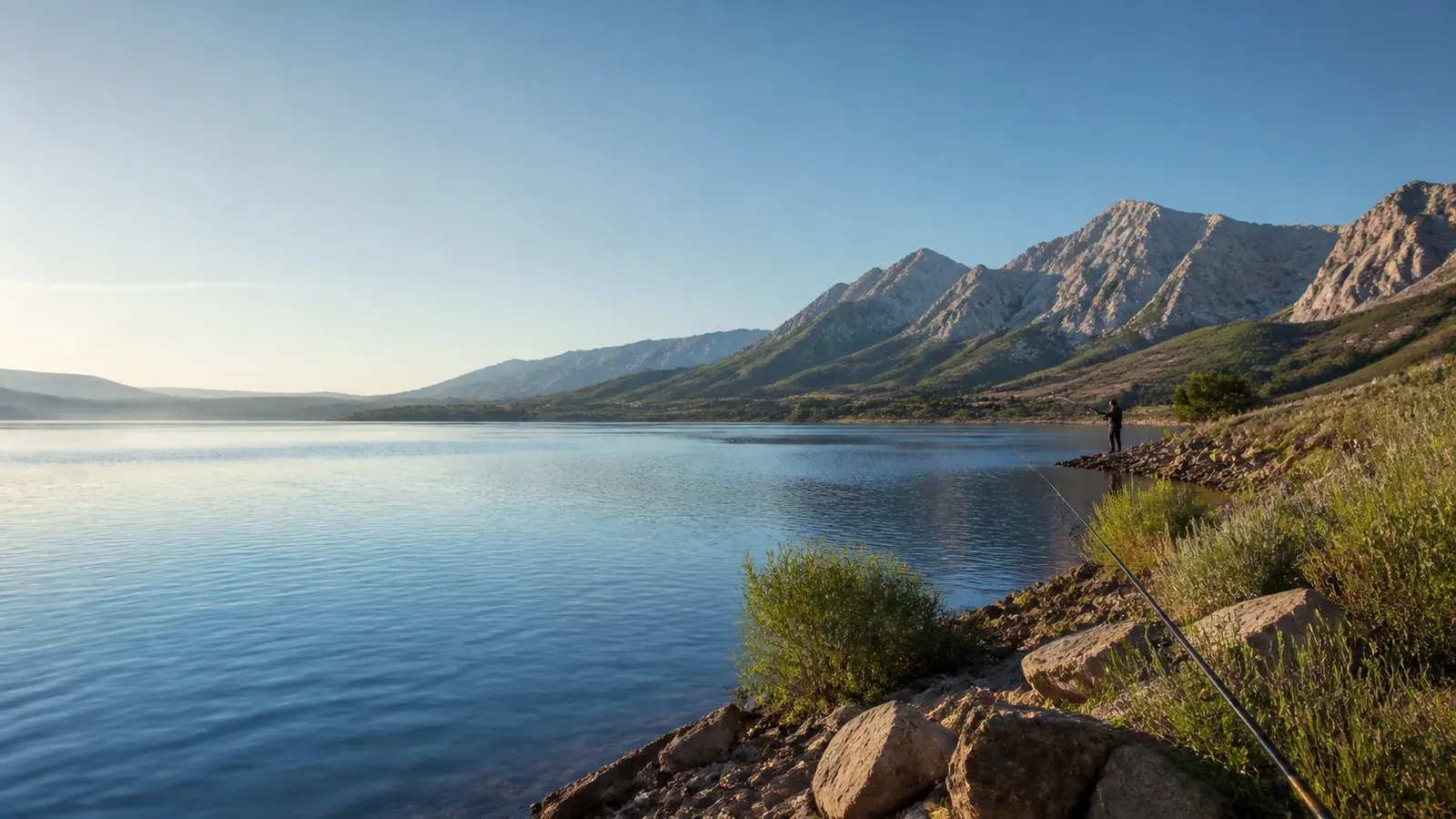
Jordanelle Reservoir Fishing Report: Current Conditions, Best Baits & Where Fish Are Biting
A dated Jordanelle snapshot for August 11, 2026: open water, a 70 F surface reading, ramp notes, recent DWR stocking records, and a practical trout plan for shore and boat anglers.
 Illustration
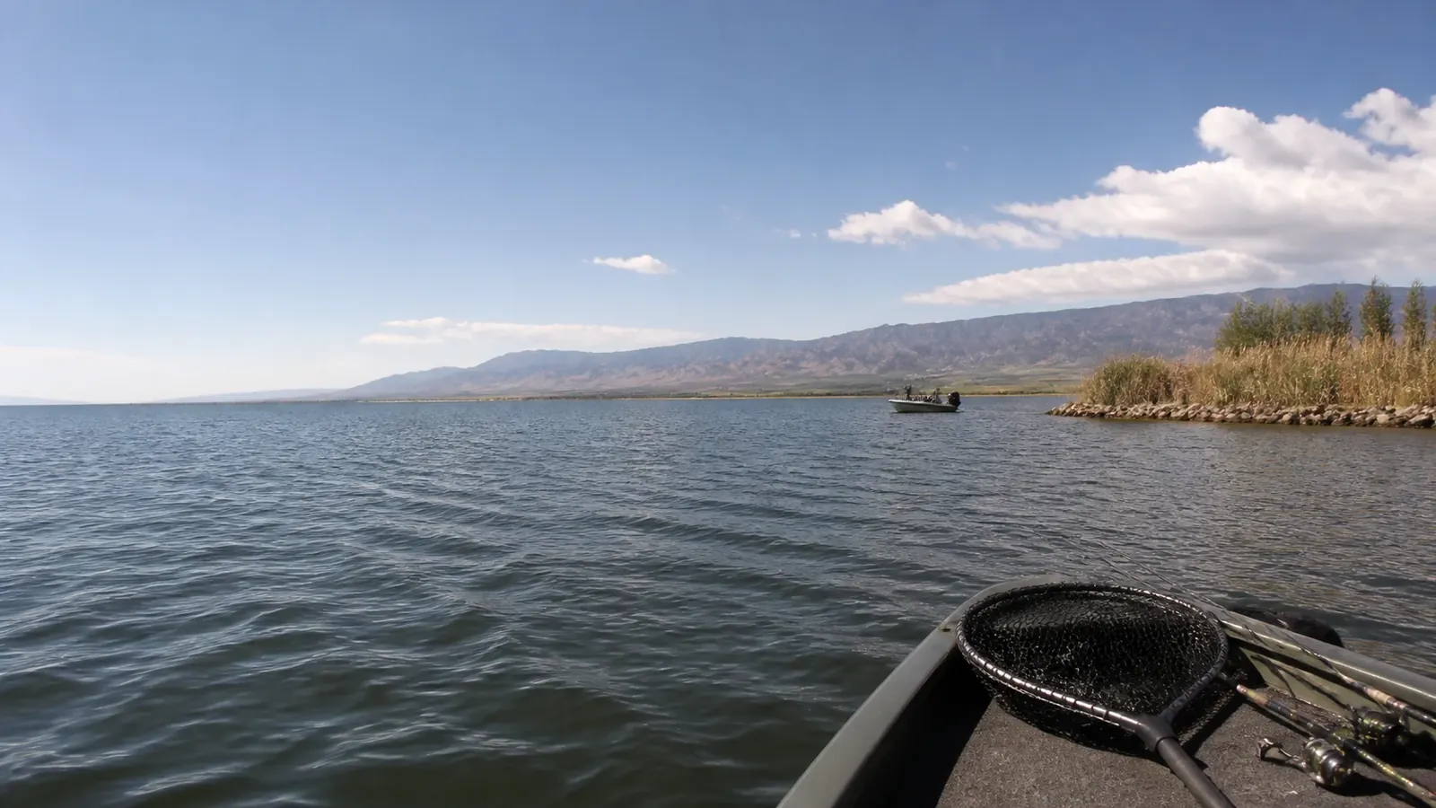
Willard Bay Fishing Report: Walleye, Wiper & Perch Conditions
The August 11, 2026 Willard Bay snapshot covers open-water access, low water, the latest posted temperature, recent wiper stocking, and practical walleye and perch starting patterns.
 Illustration
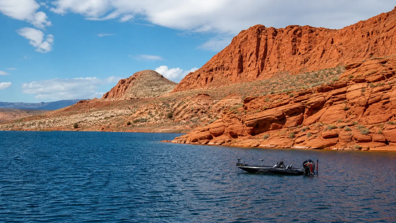
Sand Hollow Fishing Report: Bass Conditions, Water Temps & Best Lures
A current Sand Hollow bass report for August 11, 2026, with the latest ramp and water-level update, a practical temperature-based lure plan, and a clear stocking-data caveat.
More Utah Fishing Updates
Browse more regulation changes, local reports, and seasonal how-to guides.
Back to all articles