How to Read Middle Provo River Flows Using USGS (In 5 Minutes)
Stop guessing about river conditions. Learn to read USGS flow data like a pro and time your Middle Provo trips perfectly every time.
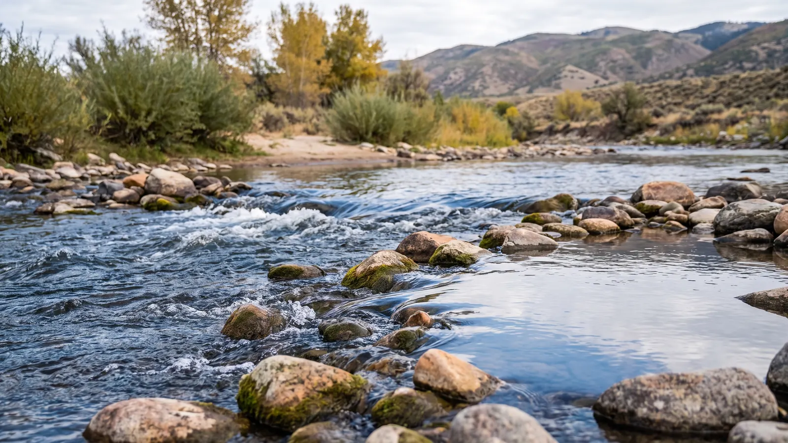
How to Read Middle Provo River Flows Using USGS (In 5 Minutes)
Tired of driving 45 minutes to the Middle Provo only to find unfishable conditions? Stop wasting time and gas. Learning to read USGS flow data takes 5 minutes and will save you countless frustrating trips.
Here's exactly how to use real-time flow data to time your Middle Provo trips perfectly.
The Magic Numbers: What CFS Means for Fishing
CFS = Cubic Feet per Second (the volume of water flowing past a point)
Middle Provo Sweet Spots:
- 100-200 CFS: Perfect wading conditions, excellent visibility
- 200-350 CFS: Good fishing, manageable wading with care
- 350-500 CFS: Challenging but fishable for experienced anglers
- 500+ CFS: Dangerous wading, poor fishing conditions
- Under 100 CFS: Too low, fish stressed, poor conditions
Step 1: Find the Right USGS Station
Primary Station: Provo River near Hailstone (Station #10155000) Location: Near Jordanelle Dam Why this one: Most accurate for Middle Provo fishing conditions
Quick access: Google "USGS 10155000" or bookmark: https://waterdata.usgs.gov/monitoring-location/10155000/
Step 2: Read the Current Data
What You'll See:
- Current flow (most recent reading)
- Yesterday's flow (for comparison)
- 7-day trend (shows if rising/falling)
Key Indicators:
- Green line trending down = Flows dropping (good!)
- Blue line trending up = Flows rising (wait)
- Flat line = Stable conditions (fish it!)
Step 3: Interpret the Trends
Rising Flows (Bad News)
- Rapid rise: Usually dam releases or snowmelt
- Wait 24-48 hours for flows to stabilize
- Fish muddy water = waste of time
Falling Flows (Good News)
- Dropping fast: Perfect time to plan your trip
- Stabilizing: Book your day off work
- Clear water returning: Prime fishing conditions
Stable Flows (Go Fish!)
- Same CFS for 2+ days: Excellent conditions
- Fish are settled: Predictable feeding patterns
- Best success rates: Plan your longest sessions
Advanced Tips: Reading Between the Numbers
Water Temperature Factor
Check the temperature gauge (same USGS site):
- Under 40°F: Slow fishing, fish lethargic
- 40-55°F: Prime trout temperatures
- Over 65°F: Fish stressed, early morning/late evening only
Seasonal Patterns to Know
Spring (March-May):
- Watch for snowmelt spikes (afternoon rises)
- Morning flows often lowest
- Best fishing: early morning before runoff
Summer (June-August):
- Dam release patterns (irrigation demands)
- Typically stable flows
- Consistent fishing conditions
Fall (September-November):
- Most stable period
- Lowest flows of year
- Premium wading conditions
Winter (December-February):
- Minimal flow changes
- Ice formation affects readings
- Check air temp + flow data
Common Mistakes to Avoid
Mistake #1: Only checking day-of
Solution: Check trends 2-3 days ahead
Mistake #2: Ignoring recent weather
Solution: Heavy rain upstream = muddy water (even if flows look good)
Mistake #3: Not considering time of day
Solution: Dam releases often happen afternoon/evening
Mobile Apps & Shortcuts
Quick Phone Access:
- USGS Water Data app (free)
- Bookmark the station page
- Set up flow alerts (advanced users)
Pro tip:
Save this number in your phone: Station 10155000
Real Example: Reading This Week's Data
Current conditions (example):
- Monday: 180 CFS (excellent)
- Tuesday: 175 CFS (perfect - stable and dropping)
- Wednesday: 170 CFS (book your trip!)
- Thursday: 320 CFS (dam release - avoid)
- Friday: 280 CFS (improving but still high)
Decision: Wednesday is your day. Flows are stable, dropping, and in the sweet spot.
Safety First: When NOT to Fish
Never wade when:
- Over 400 CFS (dangerous currents)
- Rising rapidly (can trap you)
- Recent heavy rain (flash flood risk)
Warning signs:
- Muddy water = recent high flows
- Debris in water = upstream disturbance
- Fast rise on graph = stay away
The Bottom Line
Spending 2 minutes checking USGS data before each trip will:
- Save you wasted trips (gas + time)
- Improve your catch rates (fish when conditions are prime)
- Keep you safer (avoid dangerous flows)
Bookmark that USGS station, learn these numbers, and start fishing the Middle Provo like a local.
What's your experience with Middle Provo flows? Share your best flow conditions in the comments below.
Get free email updates
Get Utah stocking updates, trip-planning links and gear notes by email. Email signup is separate from paid SMS/voice plans, app subscriptions and the Fishing Playbook PDF.
Unsubscribe from email updates at any time. Read our website privacy policy.
Related Articles
 Illustration
How to Catch Recently Stocked Rainbow Trout From Shore
A simple shore-fishing plan for newly stocked rainbow trout, including where to cast, what to rig, when to move, and how stocking size changes expectations.
 Illustration
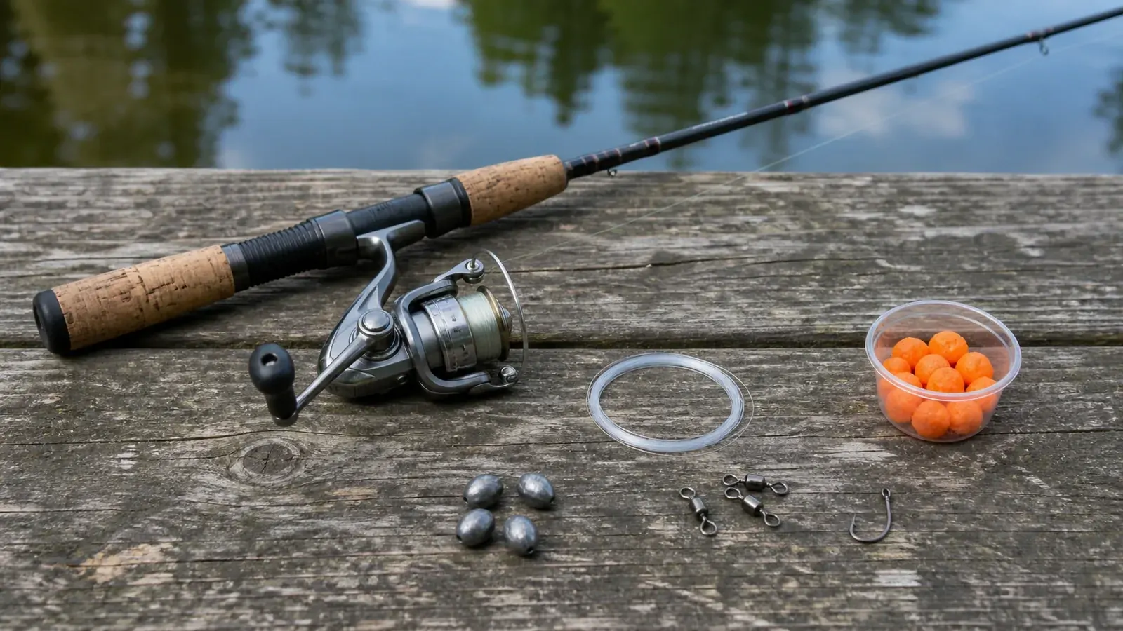
PowerBait Rig for Stocked Trout: Hook, Leader, Weight, and Depth
The exact sliding-sinker PowerBait setup for stocked trout, with hook size, leader length, casting depth, bite detection, and fixes for common problems.
 Illustration
How to Fish an Inline Spinner for Utah Trout
A repeatable inline-spinner system for Utah trout: lure size, line, casting angles, retrieve speed, depth control, and strike-triggering pauses.
More Utah Fishing Updates
Browse more regulation changes, local reports, and seasonal how-to guides.
Back to all articles